Boosting maritime safety with real-time data of waves and currents near ports in West Africa
- User stories
Synopsis
Challenge
Real-time oceanographic data in real time near ports in the nation of Togo are required to make decisions on maritime traffic and port opreations.
Solution
Nortek AWACs are able to feed data to a control center, where officials can monitor the conditions and make decisions accordingly.
Benefit
Maritime safety and port efficiency is improved by knowing the current speed and wave climate near the ports and along the coast.
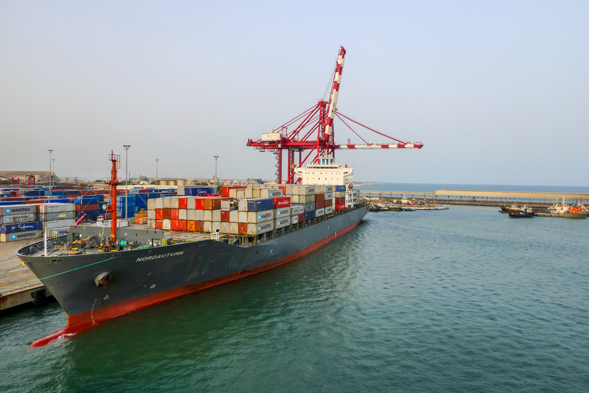
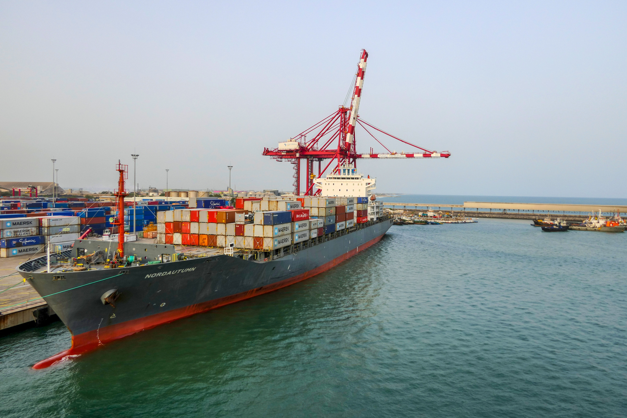
Situated on the coast of Togo, the Port Autonome de Lomé is arguably the most important commercial port on the West African coast. Reaching depths of almost 17 m and bound by two dikes to reduce silting, it is the only deep-water port on the coast able to accommodate ships with a strong draft. Once in the port, users can quickly transport their goods to other major West African cities such as Niamey in Niger and Ouagadougou in Burkina Faso.
Collecting oceanographic data below the sea surface to improve safety near ports
To improve safety at sea and enhance environmental protection, the Lomé Maritime Office commissioned Adasa Systems, a Skion Water Company, to supply and install the three maritime stations along the coast.
Innova Oceanografia Litoral, an oceanographic consulting and service company, also played an important role in this project by lending a hand in the system integration necessary for the instrumentation and by providing real-time support during the deployment in the field.
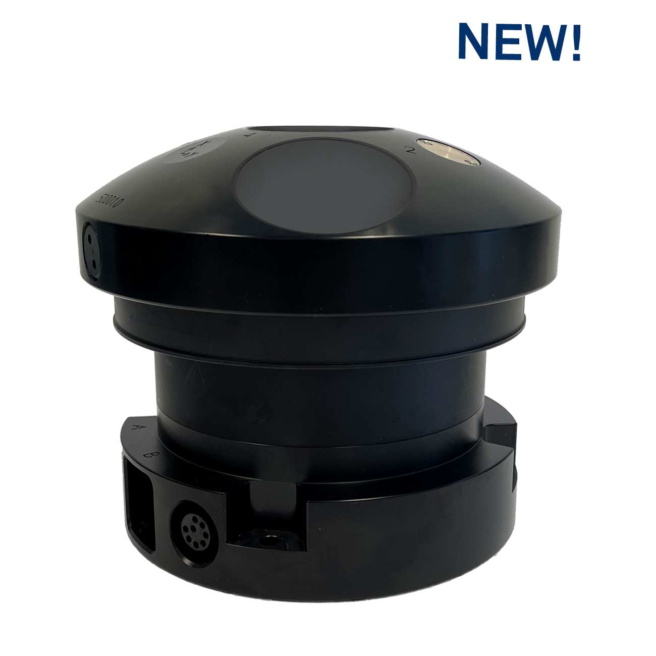
Each station is fitted with a host of meteorological sensors such as rain gauges and wind and temperature sensors to collect atmospheric data. On two of the stations, Adasa Systems also fitted 1 MHz AWAC wave and current profilers to collect key oceanographic data.
“The [AWAC] devices are collecting data about water temperature and pressure, speed and direction of sea currents as well as different heights, frequencies and directions of waves and the periods of tides,” Glòria Cabot, manager of Adasa Systems Water Solutions Department, explains.
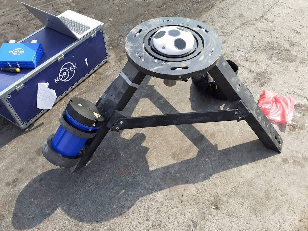
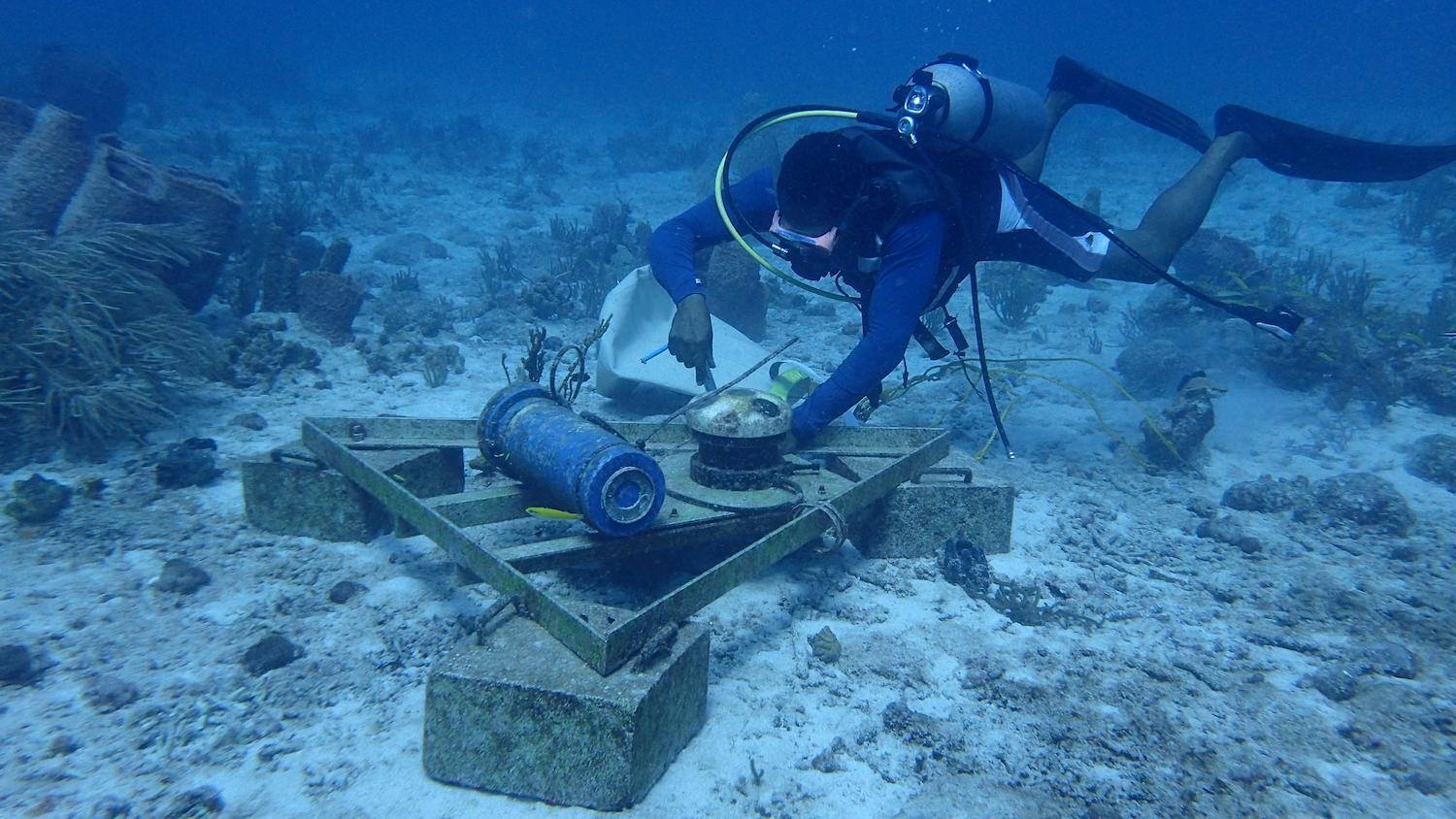
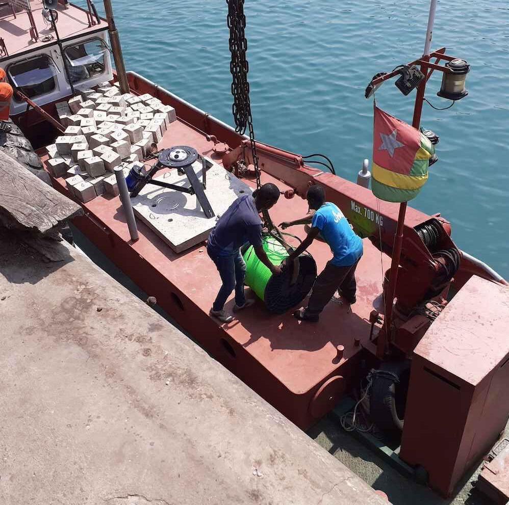
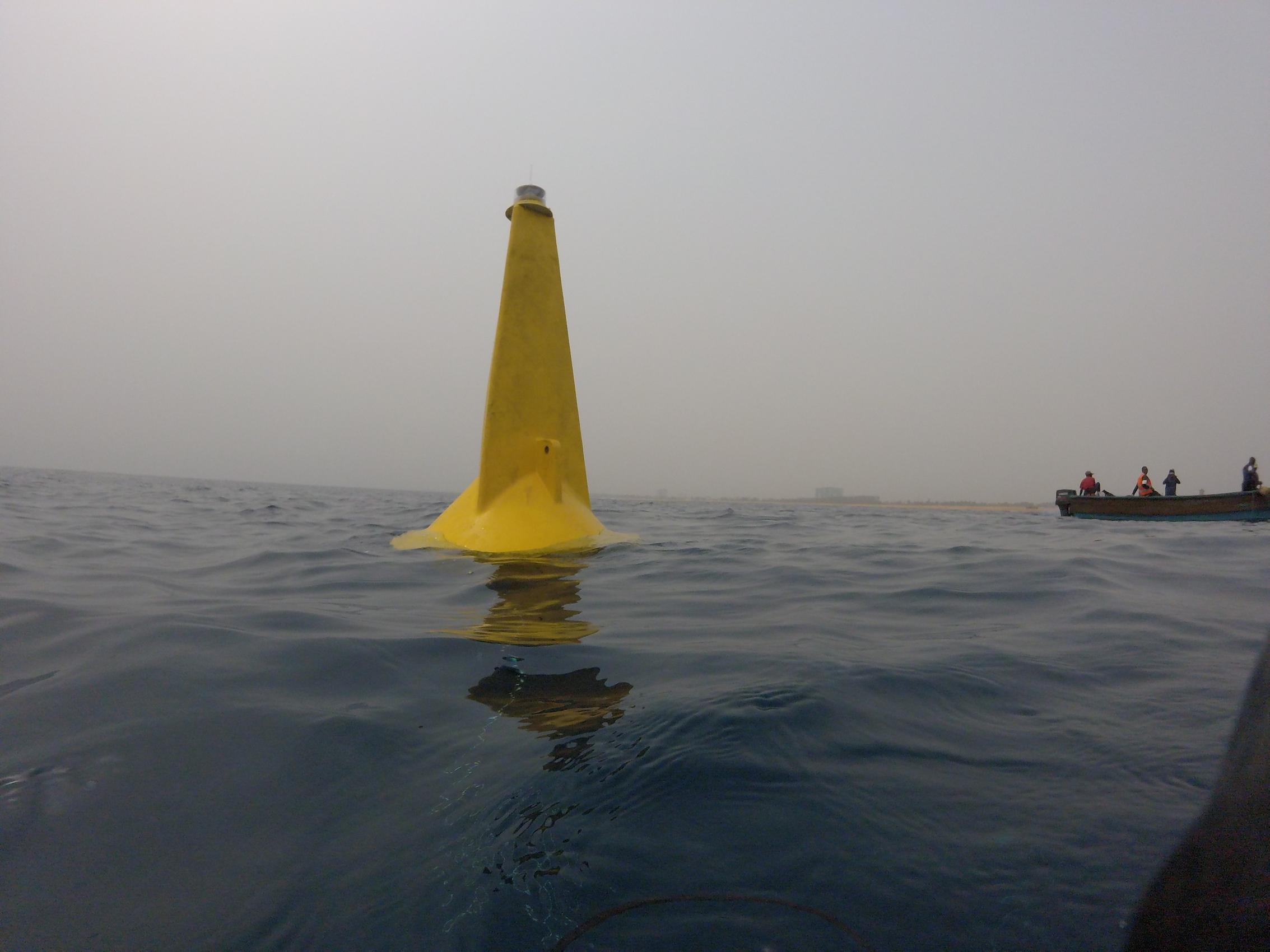
The AWAC-equipped stations were placed near key infrastructure – one near Port Autonome de Lomé and one near the Port of Kpémé, a commercial phosphate port located 32 km east of Lomé. In both cases, the AWACs were placed approximately 1 km offshore, in waters around 15 m depth. To keep the instruments in place, Adasa Systems mounted the AWACs onto a tripod attached to a concrete block and marked their location with a buoy.
Real-time data of waves and currents enables rapid decisions for maritime safety
When conducting a research study, AWACs can be left in the water to collect and store data for months on end. At the end of such field campaigns, researchers pick up the AWAC, download the data and start analyzing. For maritime safety, however, receiving data months later isn’t necessarily very useful. Rapid data transmission is necessary so people can make the most effective decisions to protect lives from storms or the environment from incidents such as oil leaks.
Fortunately, the Togolese don’t need to take the AWAC out of the water whenever they want to access the simultaneous measurements of waves and currents, as well as temperature and pressure readings. AWACs can simultaneously record data internally while outputting data via the NMEA (National Marine Electronics Association) communications standard. Since the NMEA standard is used across different industries for a host of different technologies, it is relatively straightforward to have the AWAC “talk” to other systems.
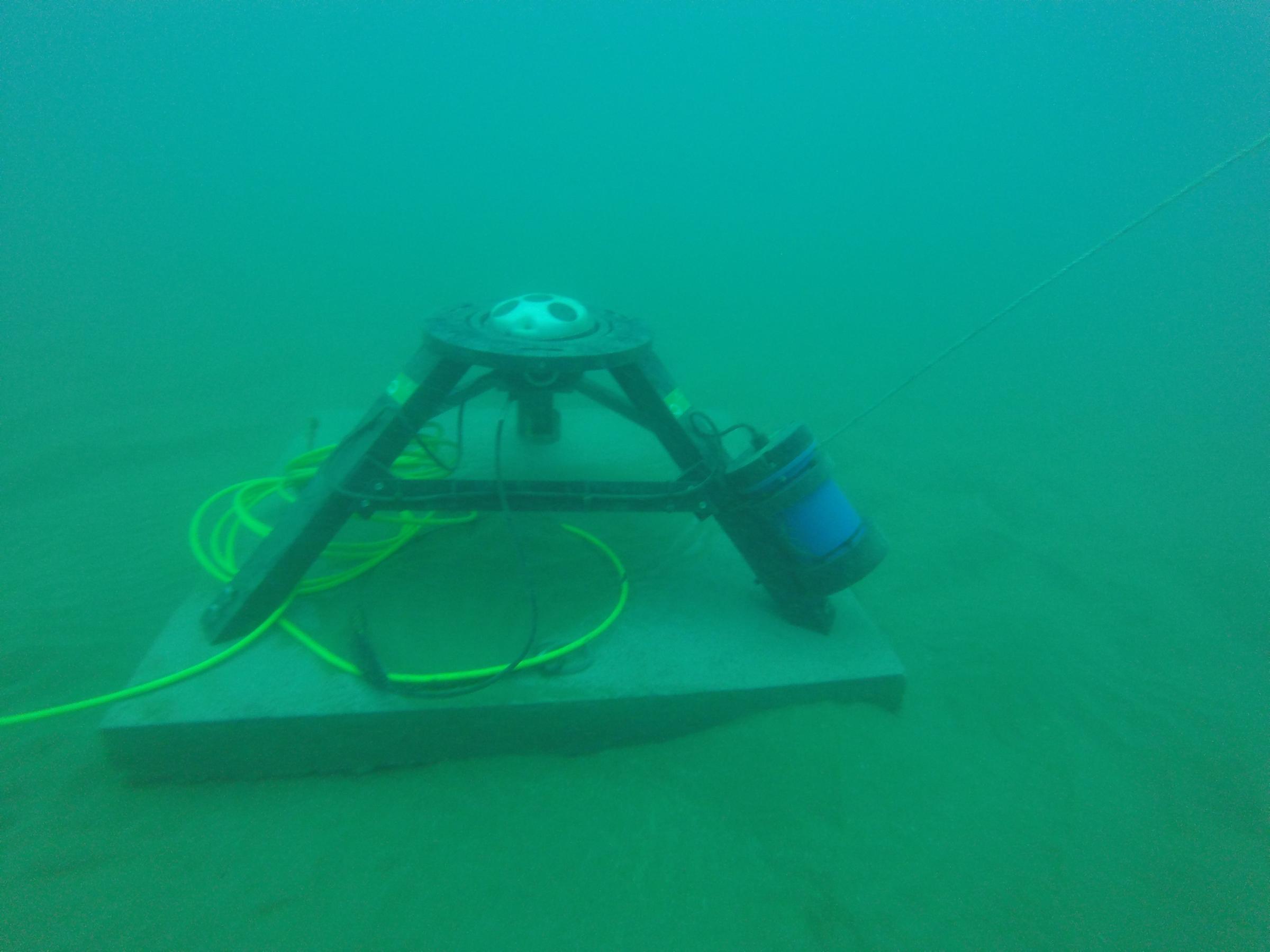
Adasa Systems connected the AWACs to a data logger located on the station, with the rest of the meteorological sensors. The AWAC sends its data to the data logger. From there, all the data (including readings from the meteorological sensors) is transmitted every ten minutes via GPRS to a Control Center, where it can be accessed 24 hours a day, seven days a week, 365 days a year.
“The project also includes the installation and start-up of Control Centers to process all the information received by the stations,” says Cabot.
The Control Center is located at the Prefecture Maritime Office so officials can monitor evolving conditions and make rapid decisions that impact maritime traffic and port operations. Officials can use the most up-to-date information to create forecasts important for mariners and the wider Togolese population.
