Gathering data with ADCPs to manage coastal flooding the natural way
- User stories
Synopsis
Challenge
Flooding is becoming more and more prevalent with our changing climate. Mitigating the effects of flooding for coastal communities in the most efficient way possible is an ongoing challenge.
Solution
Researchers at George Mason University are using Aquadopp Profilers to investigate how marshes can act as natural defenses against floods. They used the instruments to measure wave energy inside and outside of a marsh.
Benefit
Understanding how natural flood defenses, such as marshes, interact with coastal waters can help protect coastal communities without the need for "hard" defenses like sea walls or breakwaters, which can be costly to maintain and can come with other problems.
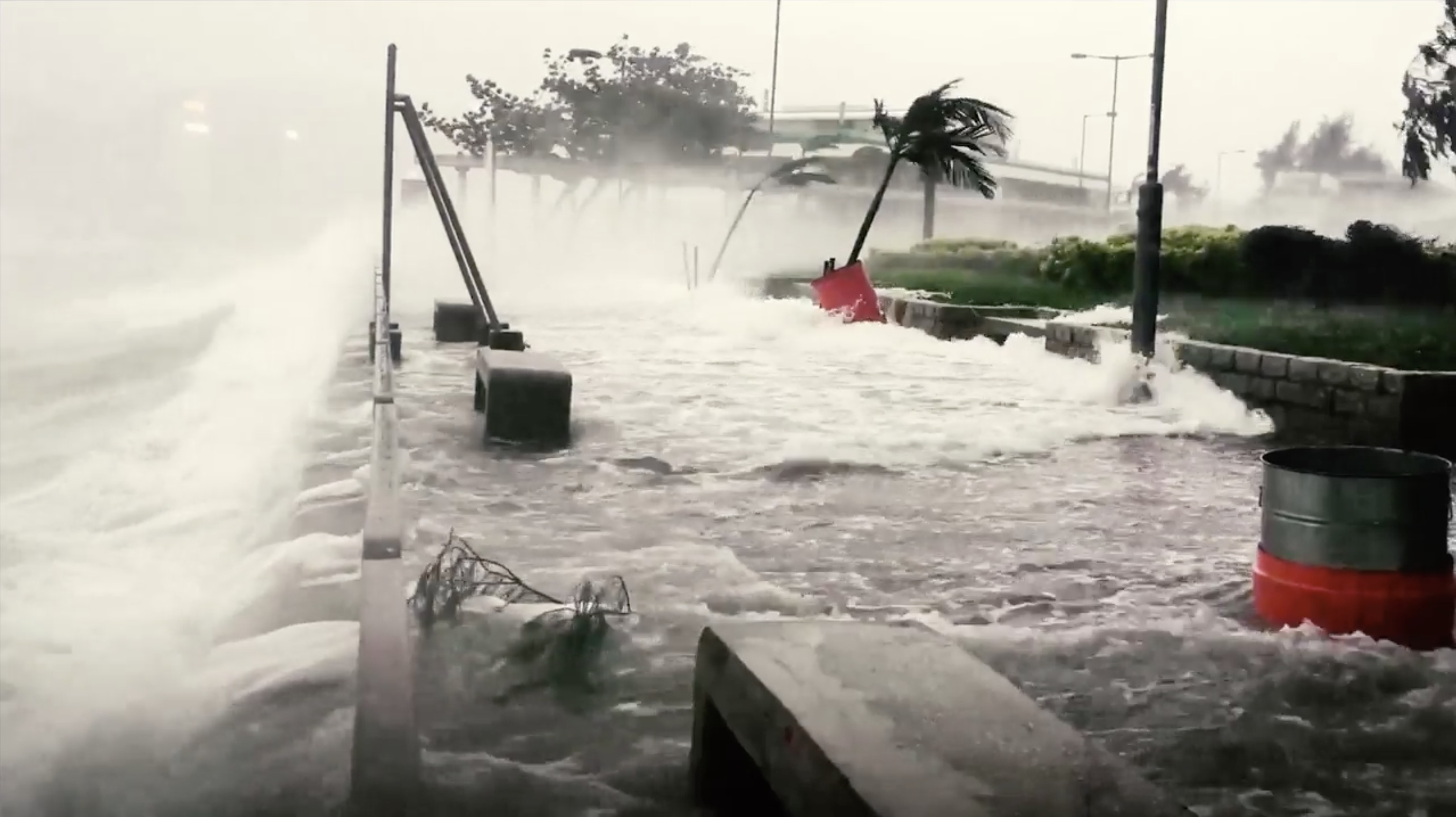
An estimated 40 per cent of the world’s population lives within 100 kilometers of the coast. Now, with our climate rapidly changing, many of those people are now facing a new threat – the ocean.
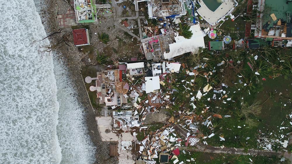
“Several coastal areas around the world are impacted by coastal floods, from hurricanes, typhoons, cyclones and extreme weather events. Of course, many places are also experiencing sea level rise, which brings with it increased tidal flooding risk,” says Professor Celso Ferreira, who runs the Flood Hazards Research Lab at George Mason University in Virginia, USA.
“You’re getting flooded more often than you used to. Like it or not, it’s the new reality.”
Among other things, Ferreira’s research focuses on how we can better manage our coastlines to reduce the risk of flooding.
From built to natural coastal flood defenses
Traditionally, coastal flooding has been kept at bay with hard defenses – sea walls, rock armor and breakwaters, for example. However, they are costly to build and maintain, are typically unsightly, and, more often than not, cause other problems, such as increasing the rate of coastal erosion. As an alternative, many management agencies and organizations are looking at natural coastal defenses.
“The idea is to take advantage of nature’s properties and characteristics to try to protect people and infrastructure from flooding, and maybe even protect nature itself from the effects of sea level rise and bigger storms,” Ferreira explains.
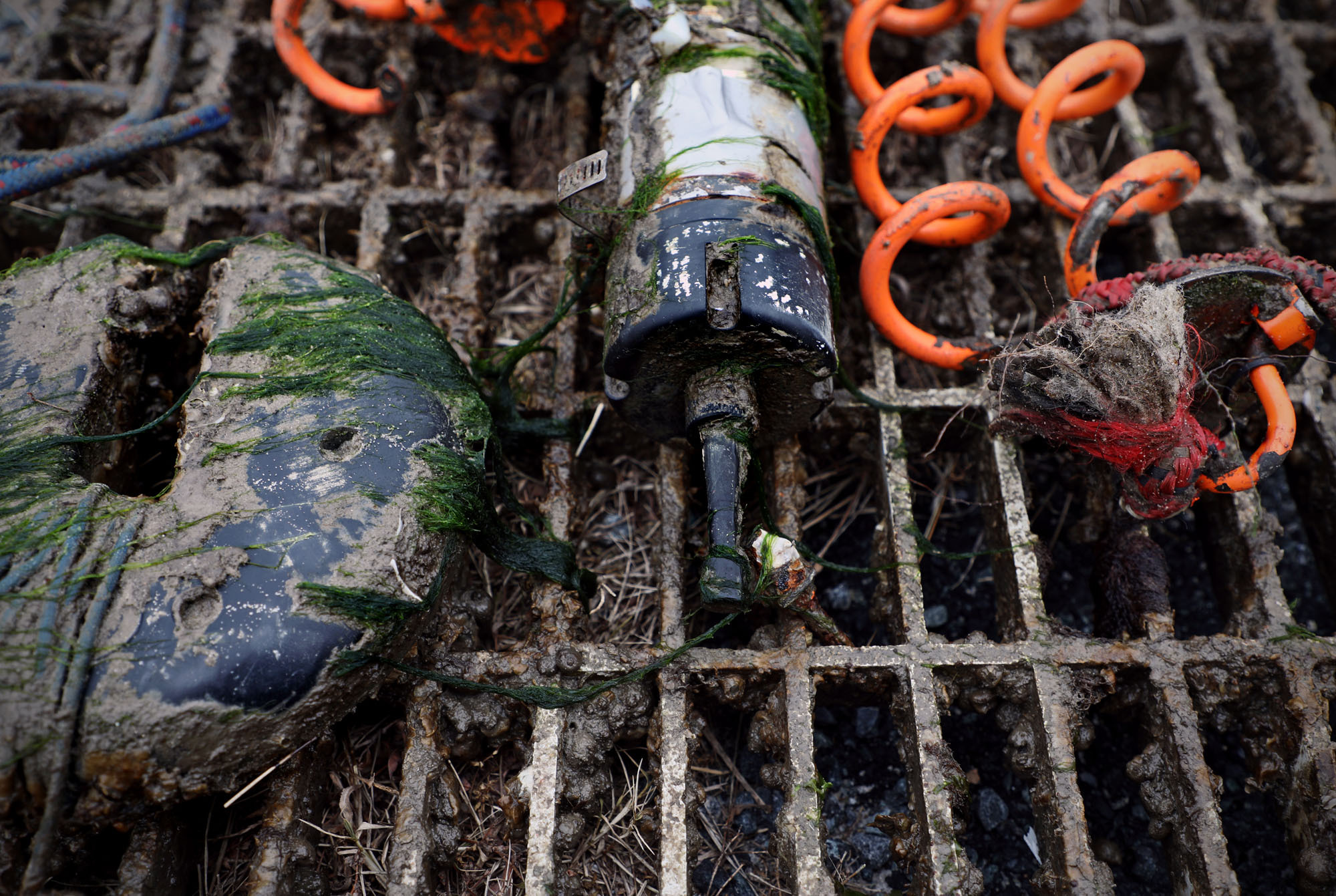
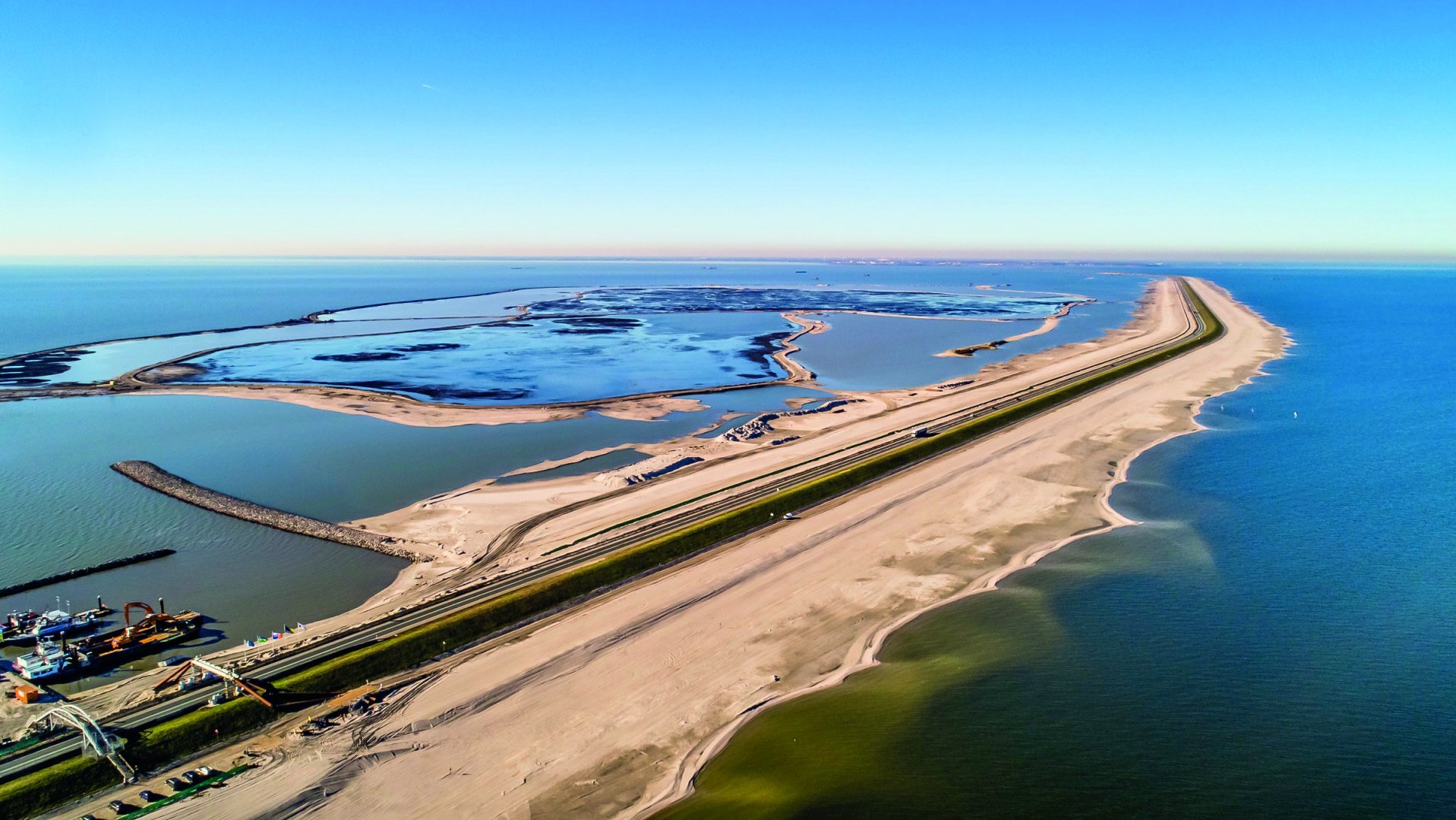
Natural flood defenses come in many different forms, and often with a few bonuses such as acting as a carbon sink and providing natural habitat that has often been destroyed to make way for development. Much of Ferreira’s research revolves around the marsh.
Uncovering a marsh’s ability to act as a natural defense
A marsh’s ability to act as a natural defense depends on a range of different factors, but in many cases we don’t have enough information to determine exactly how they will perform.
“If we’re going to adopt these kinds of strategies as a part of a flood defense infrastructure, we need to know how much protection we get from them,” Ferreira says.
When waves move in a marsh, they interact with plants, which causes the energy within the waves to dissipate.
“Vegetation characteristics – such as the height of the plants relative to the height of the water, the density of the plants, what type of plants – all impact how the waves move through the marsh,” Ferreira says.
“What we don’t know a lot about is how much energy is dissipated, and exactly what characteristics impact that energy dissipation.”
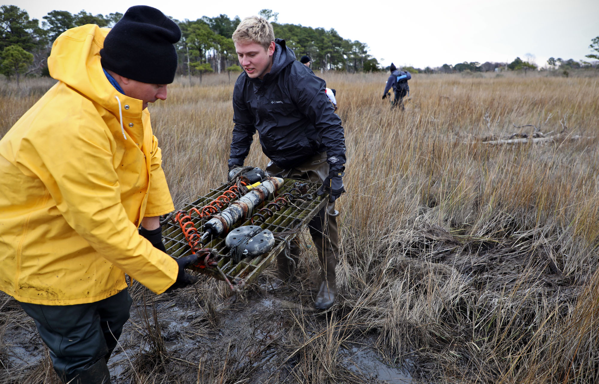
Understanding marsh-storm surge dynamics with ADCPs
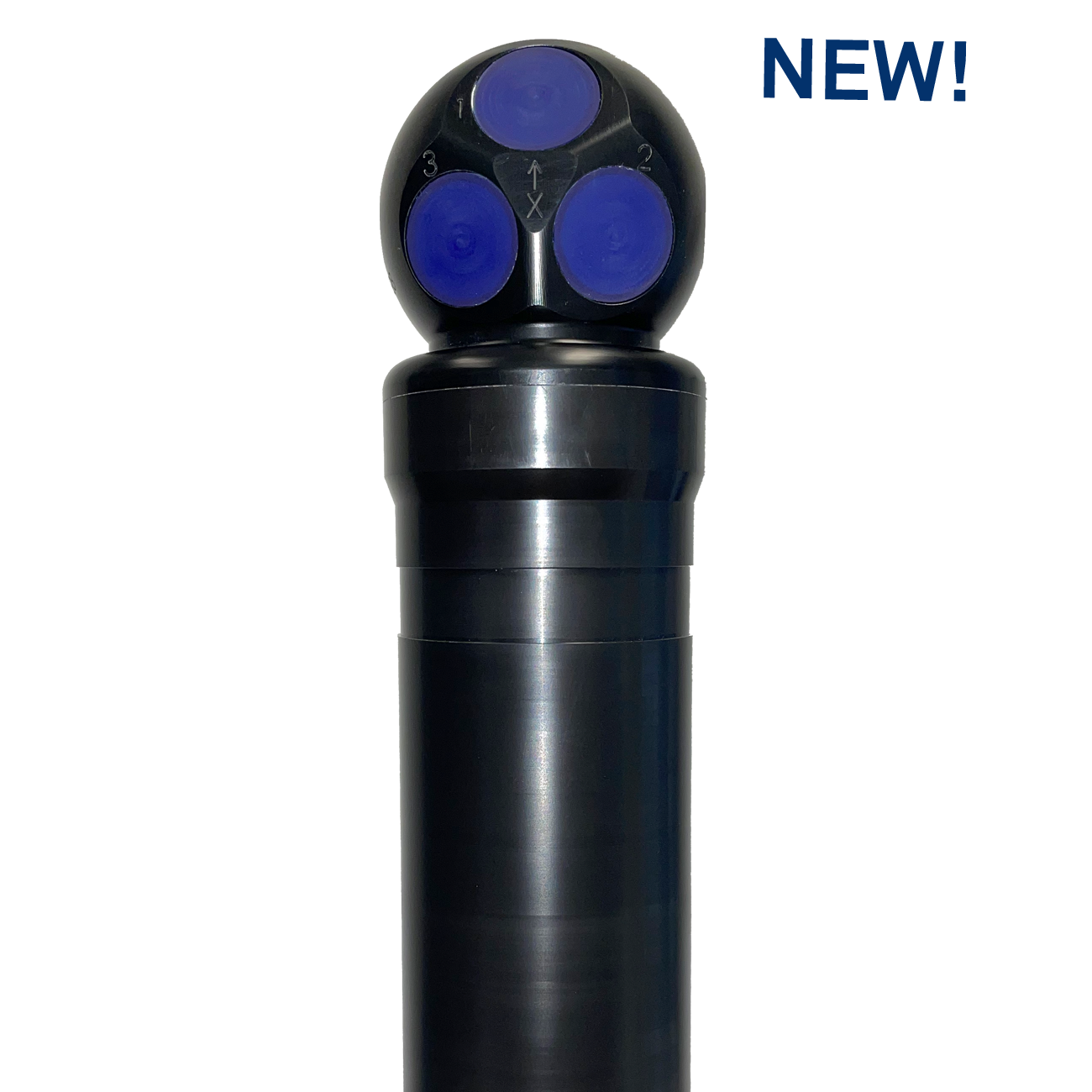
Ferreira is particularly interested in how marshes interact with storm surges that come from hurricanes. Central to Ferreira’s research is his collection of Aquadopp Profilers – highly versatile acoustic Doppler current profilers (ADCPs) designed for shallow-water environments. Ferreira deploys these instruments, equipped with 2 MHz transducer heads, in various marshes throughout the year.
For Ferreira, the Aquadopp Profilers offer a unique perspective on the whole water column, which is vital for understanding the system’s dynamics.
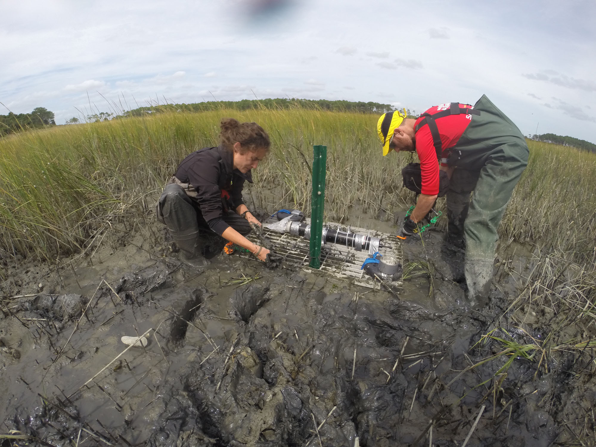
“We use a bottom-mounted set-up. With that, we’re able to see the velocity of the currents, the water level, and the waves – it does it all,” Ferreira explains.
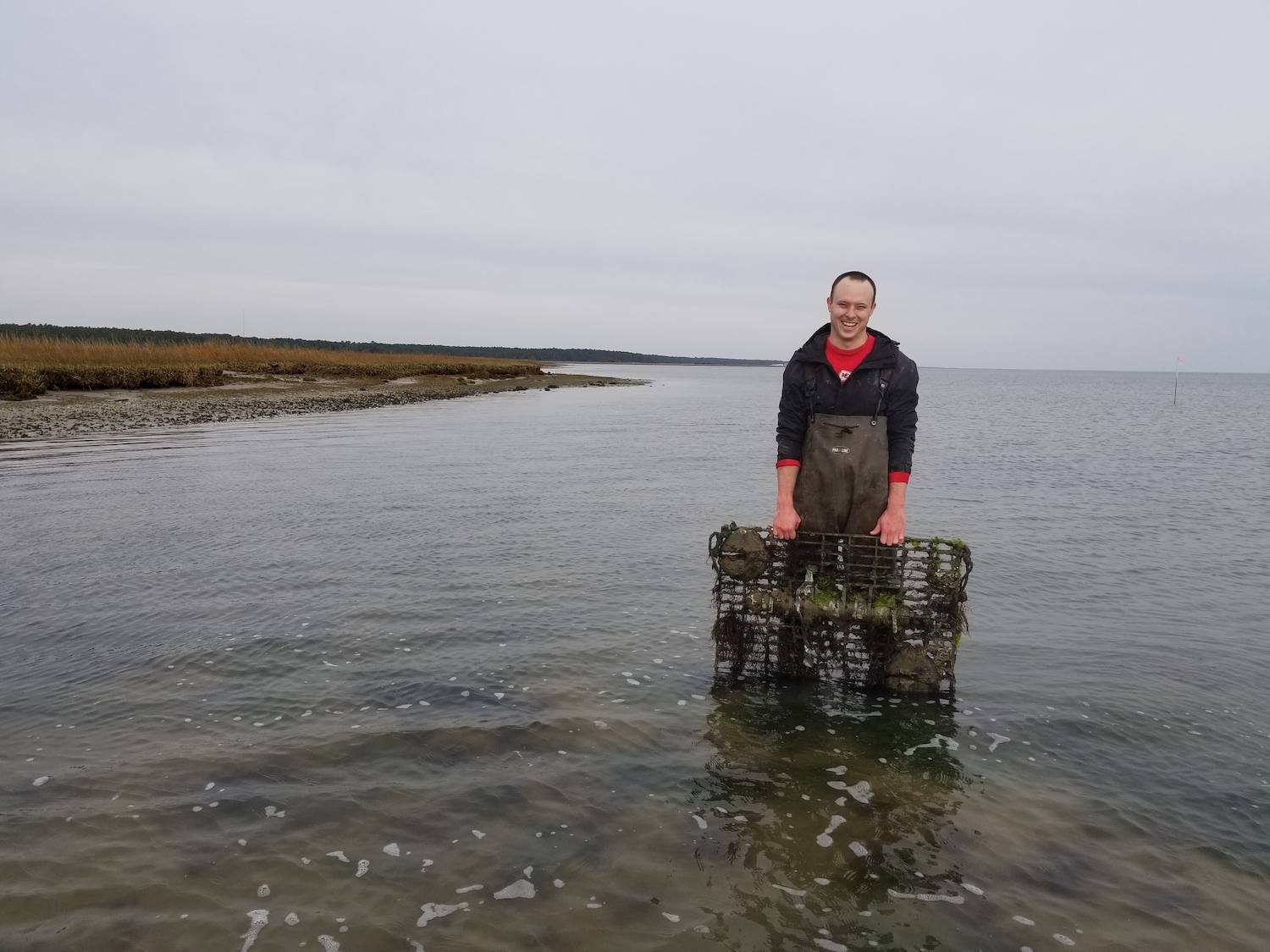
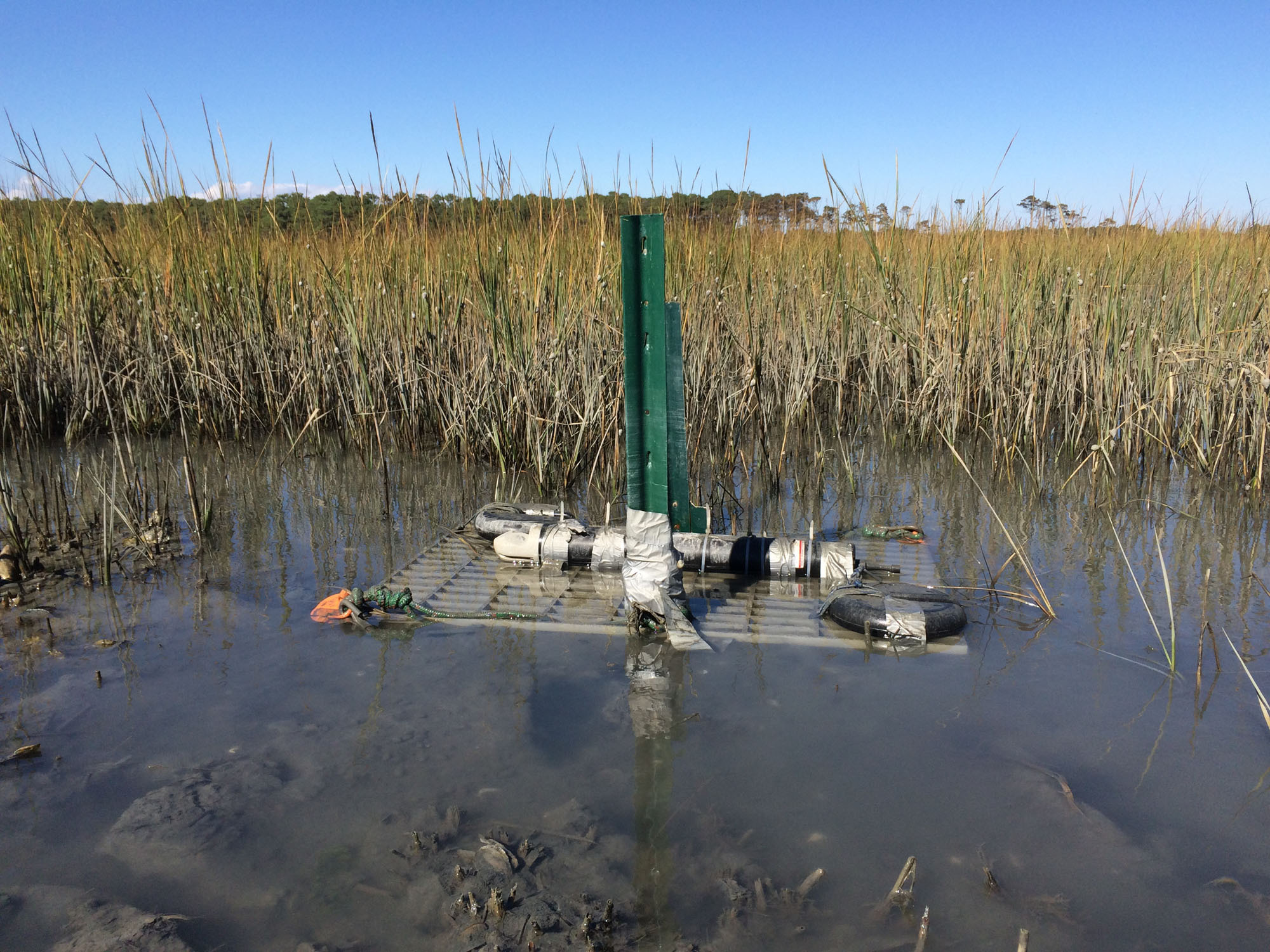
Ferreira and his team typically place one ADCP just outside a marsh and one inside, so they can measure the currents and wave energy as they move in and out of the marsh and see how water levels change.
The data from the current profilers are teamed with more modest wave sensors scattered throughout the marsh that provide wave energy information from different locations.
“There’s a lot of discussion on the impacts of currents on wave attenuation,” Ferreira continues. (Wave attenuation refers to the reduction of the force of a wave.)
“If the currents are perpendicular to the direction of the waves, we might get a different situation than if they’re going against the waves. These instruments allow us to understand that.”
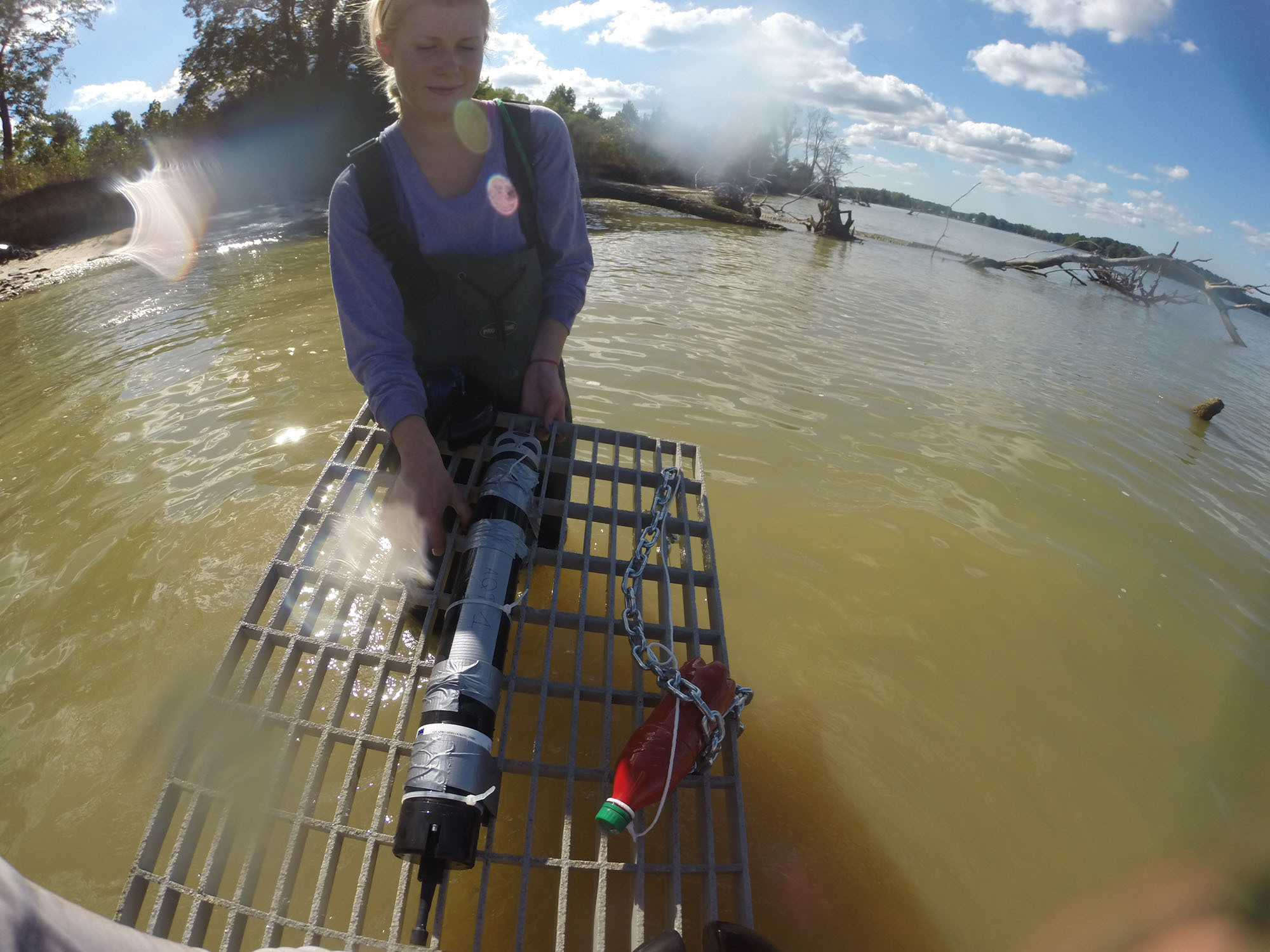
A practical current profiler that is simple to operate
Practicality and simplicity are essential elements for working in marshes, where researchers are faced with all sorts of challenges and risks. Ferreira has found the Aquadopp Profilers particularly efficient for marsh-based research.
Weighing in at less than 3.5 kg, the instruments’ small, lightweight nature makes them easily maneuverable through challenging terrain. Once at their deployment site, Ferreira’s team then mounts the profilers onto frames, which are then placed on the floor of the marsh.
The plants provide the instruments with some protection from sediment and detritus that moves through the marsh. Still, the lack of moving parts offers peace of mind that the instruments won’t become blocked or damaged during a long deployment or a particularly aggressive storm surge.
Furthermore, the researchers using these instruments aren’t seasoned professionals, but students.
“Our mission is to advance science and to educate the next generation of professionals,” Ferreira says.
With some experience working in marshes and training under their belt, it is the students, not experienced technicians, operating the equipment out in the field and processing the data they collect back in the lab.
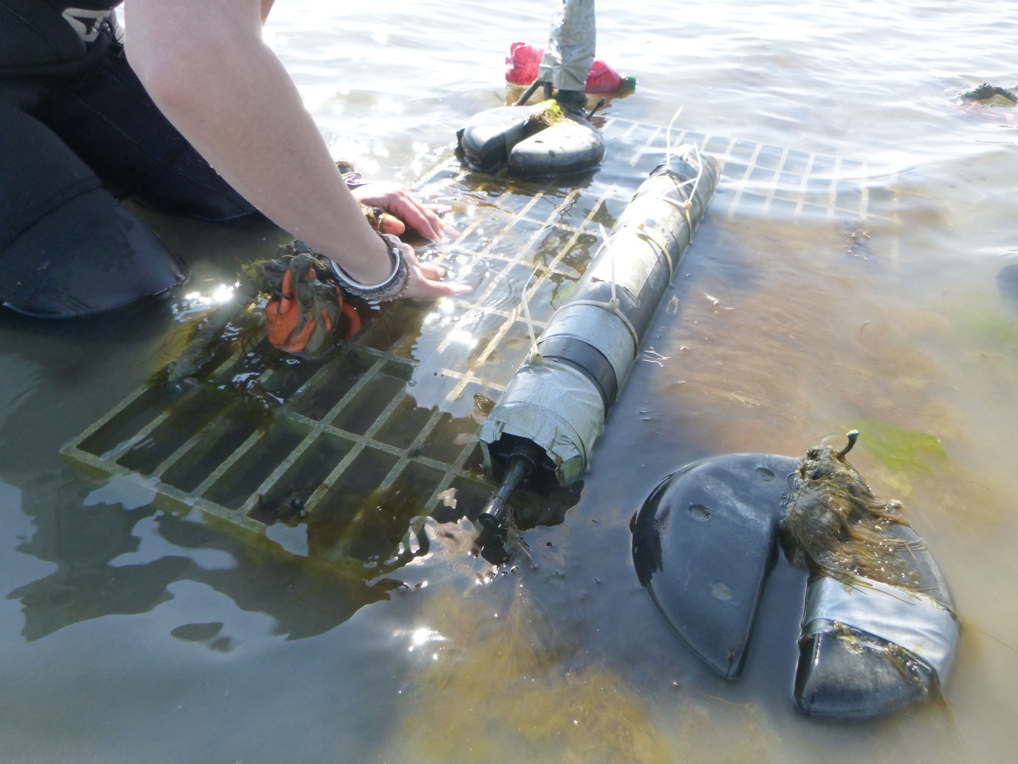
The benefits of flood risk research with ADCPs
The research emerging from Ferreira’s lab may occur at a relatively small scale, but the impact of their research resonates over a much greater area. One of the main tools for understanding where, when and to what extent flood risk is likely to be a problem is numerical models.
These models use mathematical equations to approximate what happens in the Earth’s ocean and atmosphere, but the data that underpins these models, and checks for accuracy, come from the type of work coming from Ferreira and his team.
Not all of the research is to support model development, though. Some is directly helping organizations and governments decide how best to manage the coastal environments they are responsible for.
Ferreira has teamed up with the Nature Conservancy and the Maryland Department of Natural Resources to inform prioritization and management of areas for conservation with data he gathers from marshlands. With climate change ramping up the number and strength of extreme weather events, Ferreira sees collaborative research as more important than ever.
“These kinds of interdisciplinary projects are really cool, because we really start to make a difference,” he concludes.
